
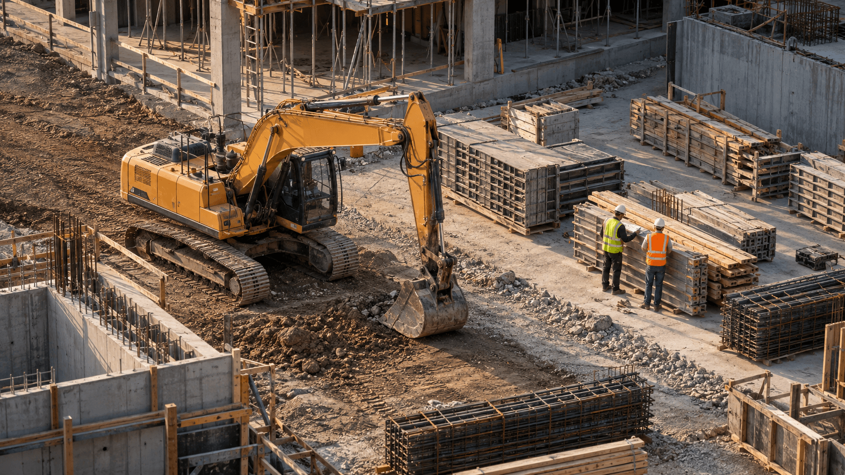
The same object can mean different things
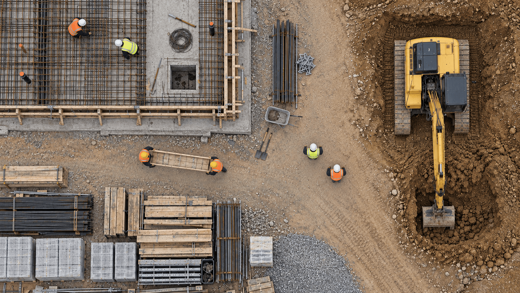
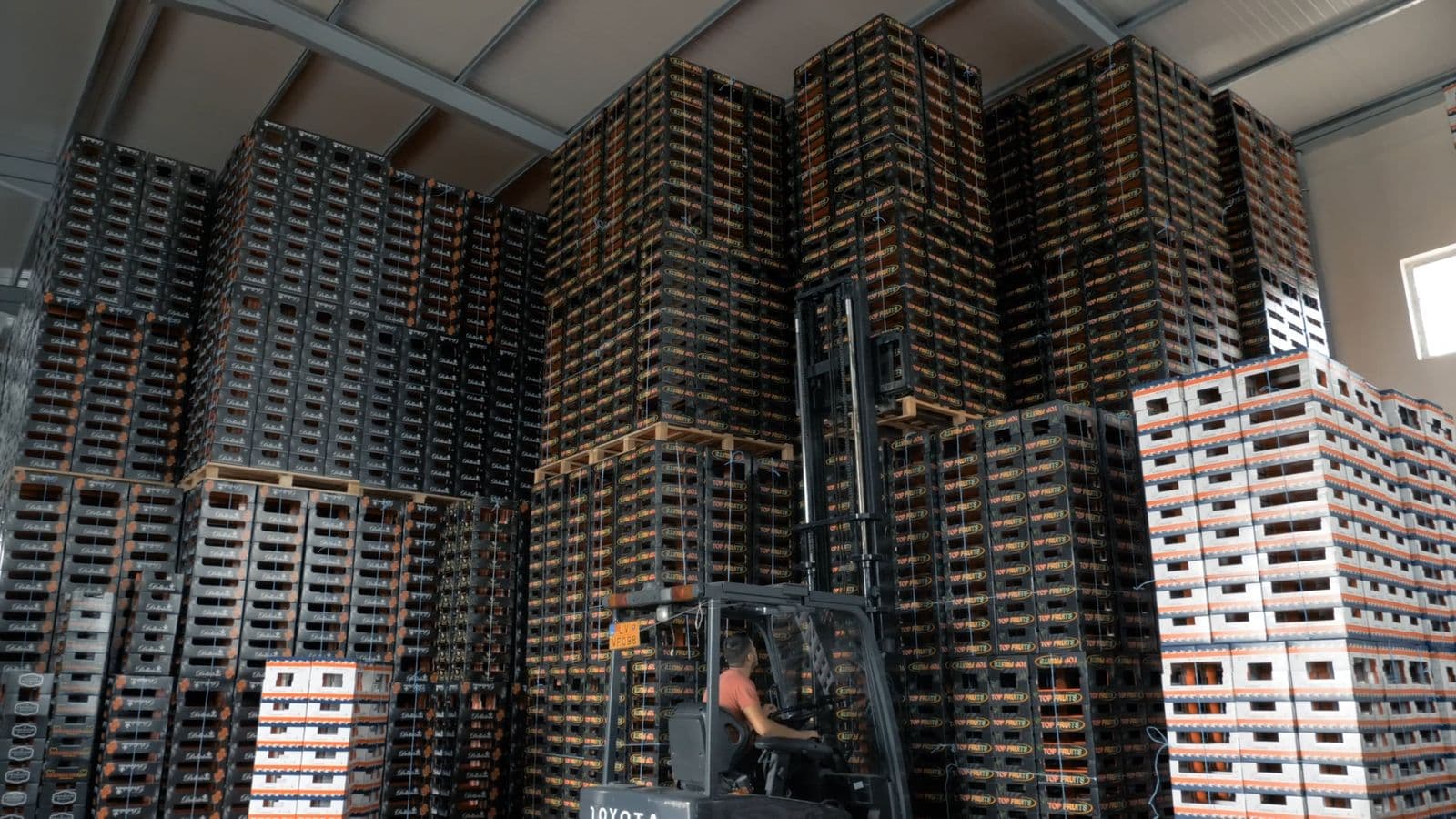
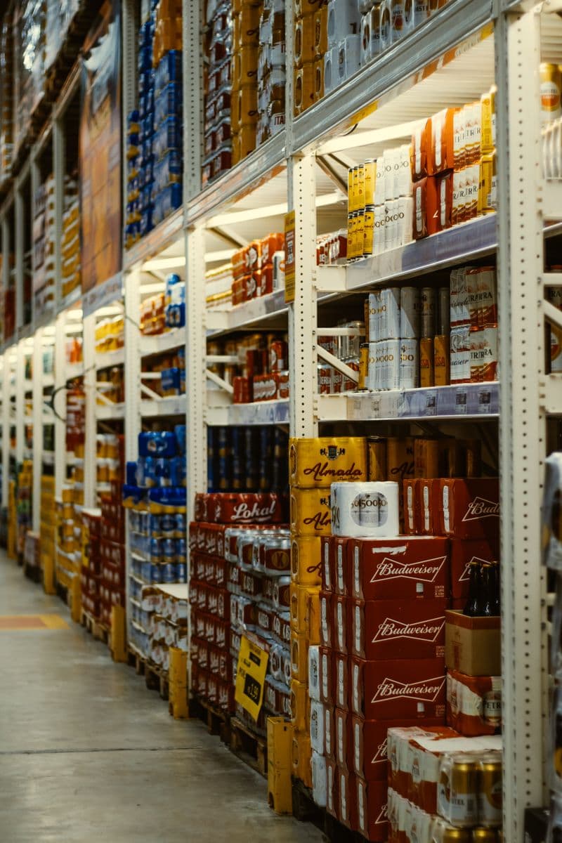
A box on a shelf, beside a workstation, and in an access route may receive the same object label. The operational meaning changes with its location. To understand whether it matters, a team needs to know how that part of the space is used.
That is a useful way to think about spatial AI: connecting observations to the physical setting around them. A label describes something in the image. Position, nearby activity, and a timestamp help a person ask a more precise question about it.
Give observations a frame of reference
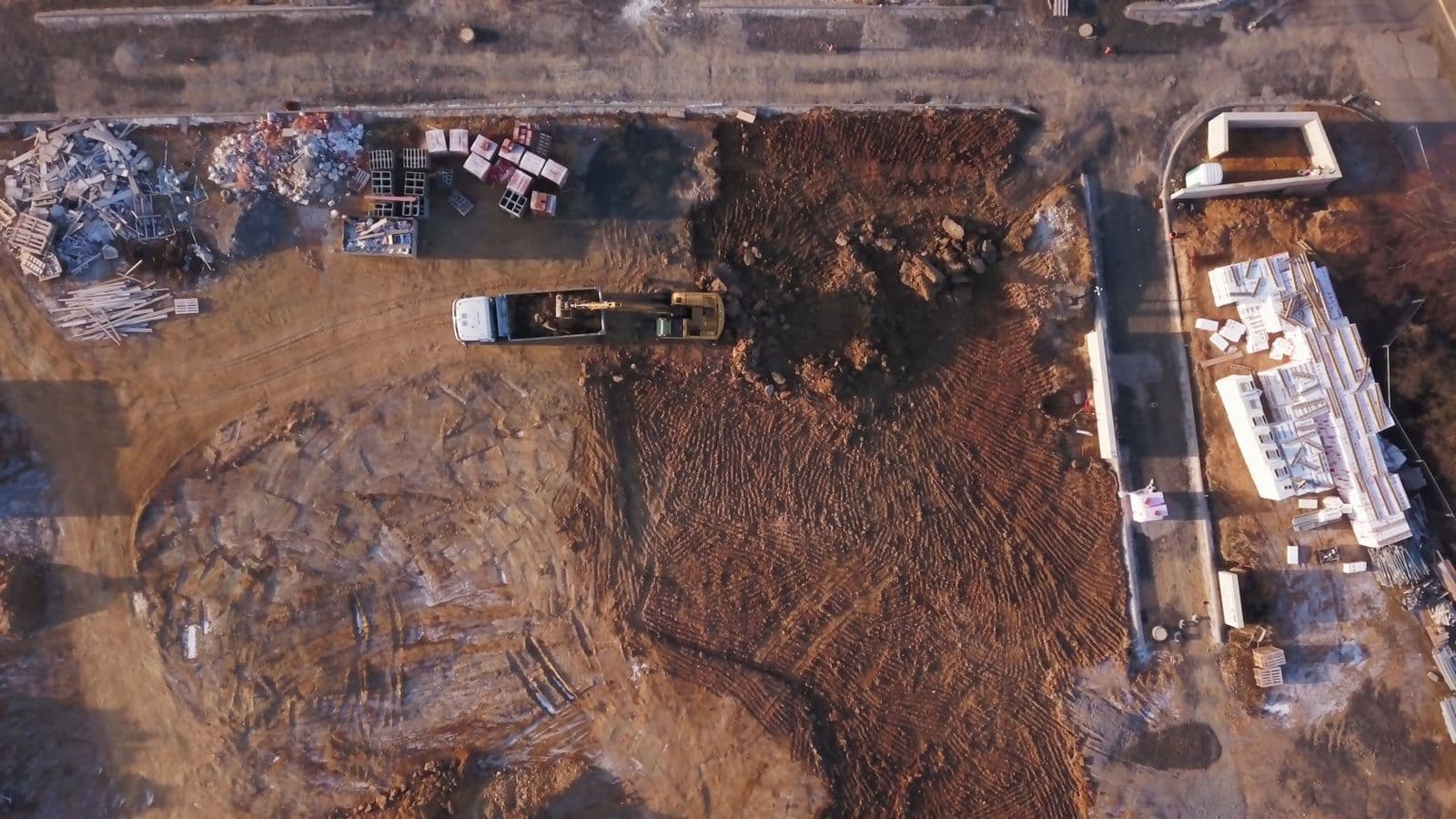
A useful spatial view needs a shared definition of the area being discussed. Where does a work zone end? Which part of the image is an access route? Which surfaces are visible, and which are hidden behind other objects?
Camera placement shapes the answers. An inferred view of a space should remain connected to the image that supports it, with gaps left visible. A region outside the camera view does not become known simply because a diagram includes it.
Bring time into the picture
A single frame shows a moment. Observations across time let a team investigate movement, repeated use of an area, and the duration of visible activity. These are different questions from simply asking what objects appear in a picture.
At Talona, we are building around that connection between space and time. The aim is to make physical activity easier to explore: locate an observation, understand its surroundings, and return to the evidence when a question needs a closer look.